Know what to expect on your next project with accurate material quantity reports and Cut/Fill maps.
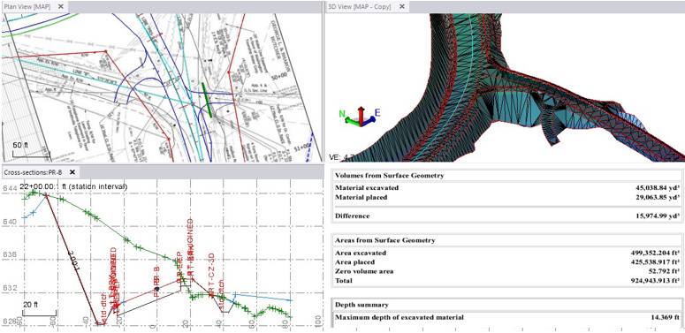
At CES, we understand projects are diverse and fluid with a variety of possible solutions for you to get your work done. We can help plan, implement and support innovative technologies that lead to your project’s most practical and effective solution.
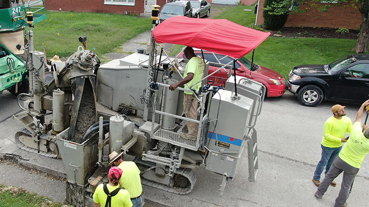
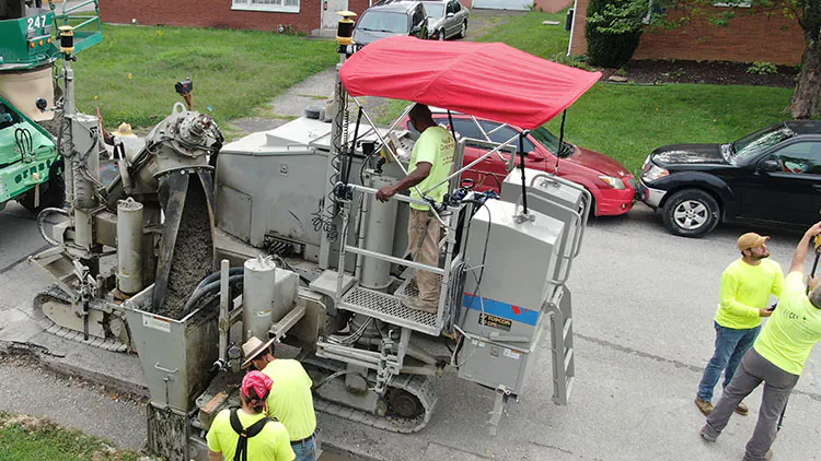
We can build standard Finish Grade surfaces as well as complex surfaces for specialized excavations and material volumes. Our experienced personnel combined with CES’s methods allows you to stay ahead of the curve as you progress through your project whether you need us from start to finish or short-term, we are there to assist you.
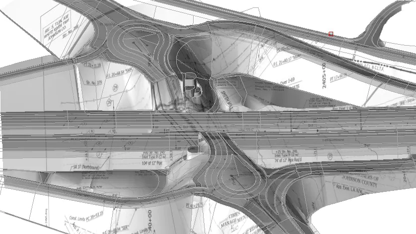

Bringing Technology & Innovation together on the jobsite in a practical manner. We meet people where they are and take them where they want to go.
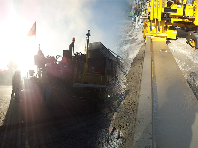
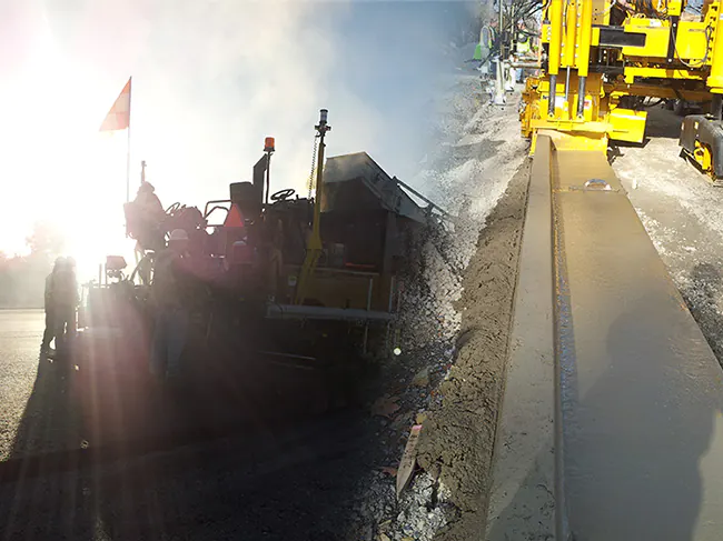
We at CES have a wealth of knowledge for the modeling process.
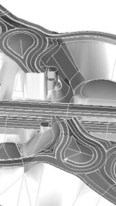
We collect a variety of critical data required thoroughly evaluate project CAD files, CPs etc. data combined with our experience to deliver a detailed 3D surface that accurately presents the desired outcome.
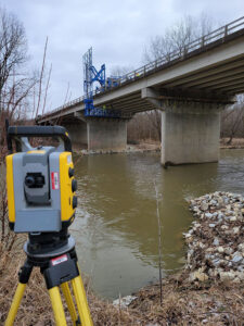
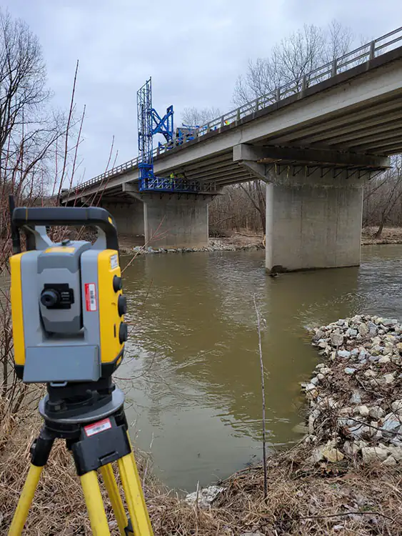
We at CES have a wealth of knowledge for the modeling process.
We collect a variety of critical data required thoroughly evaluate project CAD files, CPs etc. data combined with our experience to deliver a detailed 3D surface that accurately presents the desired outcome.
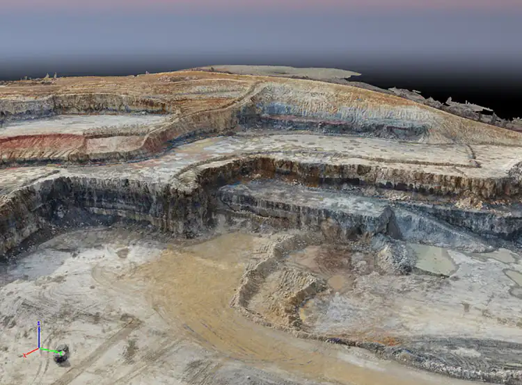

We at CES have a wealth of knowledge for the modeling process. We collect a variety of critical data required thoroughly evaluate project CAD files, CPs etc. data combined with our experience to deliver a detailed 3D surface that accurately presents the desired outcome.
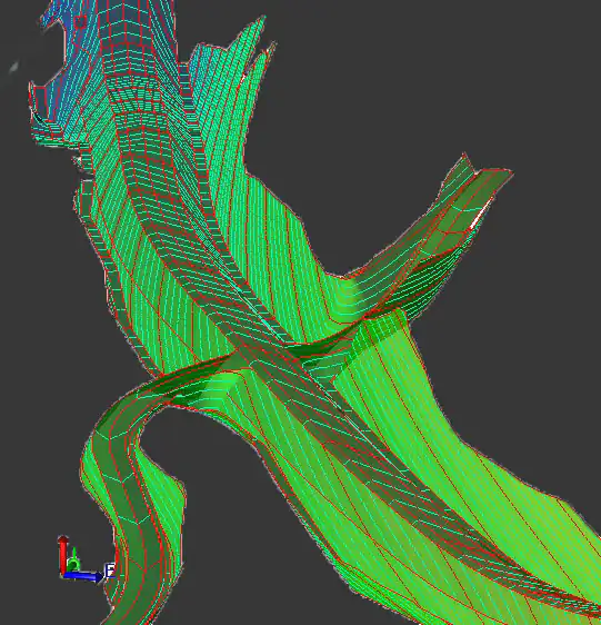

Manage your project data in a practical way with consistent documentation that is customized for your task, your crew and your project.
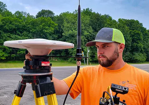
We implement the latest GPS technology and staking techniques to help take these changes in stride and keep your costs low. Because we are a full-service engineering company, data is readily communicated by our professional land surveyors and easily understood by our team. We are able to quickly develop a solution to keep your project on track.
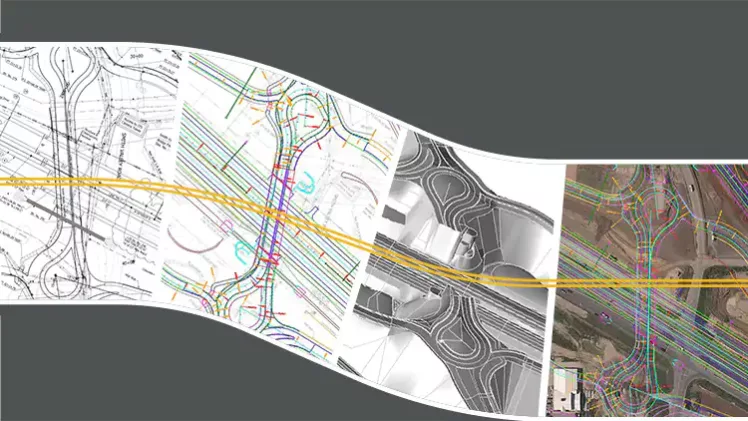

We utilize the latest technology such as GPS, Robotic Instruments, Drones, Scanning, Apps and Survey Software for layout We can also assist your personnel in understanding how to effectively utilize the layout and AMG equipment you have invested in.
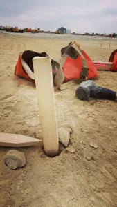
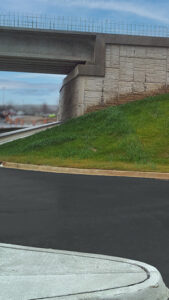
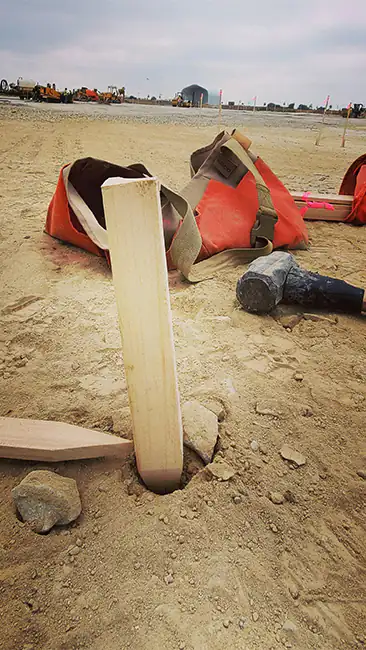
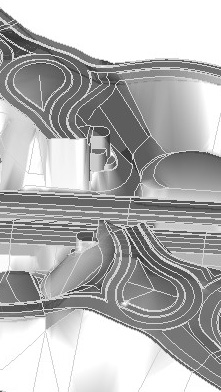
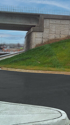
Precision comes from the equipment, accuracy comes from the user! We can create customized lineal/area/volume verification reports and maps for QC/QA to ensure you get the right pay for your quality work.
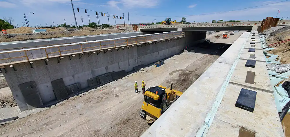

From connecting remotely to 30 min-3hr flight site visit these connections are a constant link to ensure your crews stay moving
Contact us today and we will reach out to you.